
The Gallatin Watershed
About Our Watershed
The Gallatin Watershed begins in Yellowstone National Park and covers nearly 1.2 million acres in southwest Montana.
With spectacular mountain peaks, lush valleys, and arid sagebrush, the watershed’s beauty is in its diversity.
History
Native Americans—including Blackfeet, Crow, Bannock, Nez Perce, and Shoshone—have traveled and hunted in the Gallatin Valley for thousands of years. The area where Bozeman now sits was known as “The Valley of the Flowers.”
In 1806, the Corps of Discovery, led by Lewis and Clark, marveled at the Gallatin River. Lewis named the river after US Treasury Secretary Albert Gallatin.
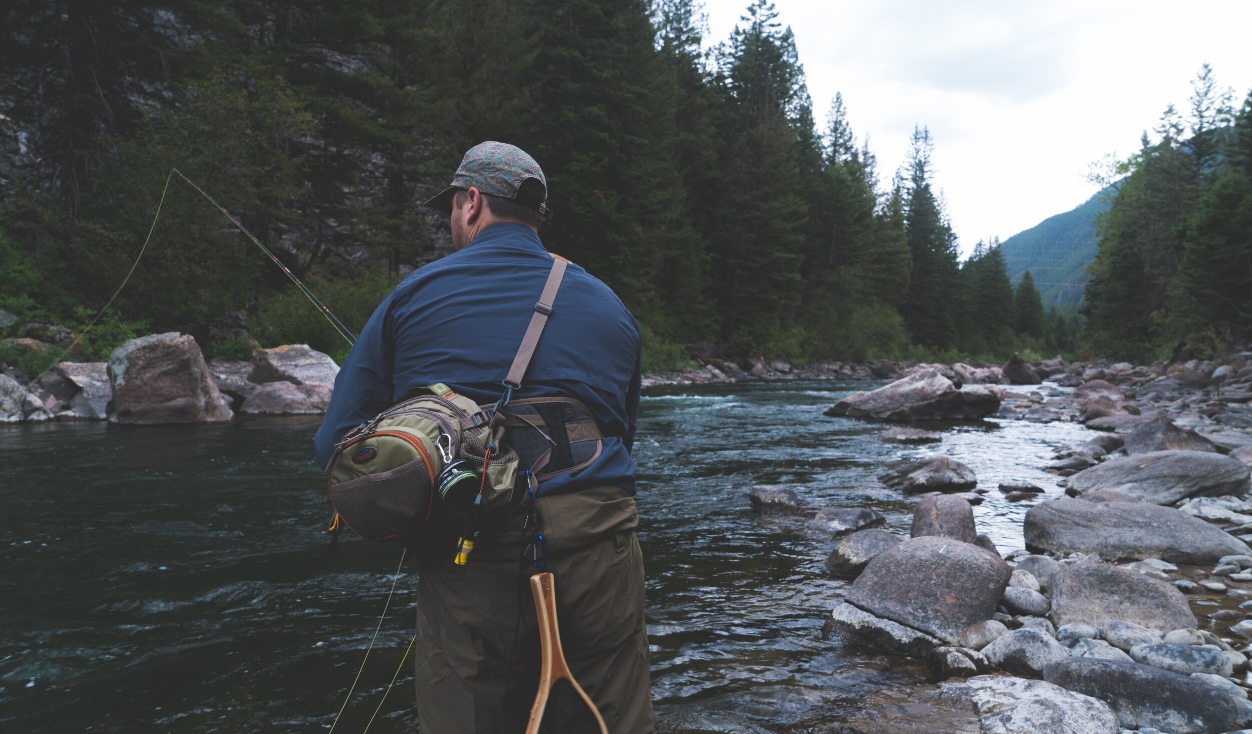
Today
Today, the Gallatin River is a Blue Ribbon trout stream and has some of the best whitewater in southwest Montana.
The Gallatin and East Gallatin Rivers also irrigate some of the most productive farm fields in the state.

Gallatin River Systems
The watershed has 23 major streams totaling 394 miles. The (West) Gallatin River begins in Yellowstone and flows northeast along Highway 191. The East Gallatin River forms from the Gallatin and Bridger Mountains then flows through Bozeman and Belgrade. The West and East Gallatin Rivers merge near Manhattan to form the Gallatin River proper, which joins the Madison and Jefferson Rivers at Three Forks to form the Missouri River.
The Gallatin Watershed is of national significance as the headwaters of the Missouri River. Residents of the Gallatin enjoy the privilege of being the first people to touch this water on its journey to the Gulf of Mexico.
