From Pizza to Policy: Bozeman Leads the Way in Stream and Wetland Protection
What started as a conversation over Columbo’s pizza with Commissioner Cunningham eight years ago has now come full circle. Late on Tuesday, September 9th, that same commissioner—now Mayor Cunningham—led the charge to unanimously adopt the most progressive wetland code in Montana.
Things in the watershed world have felt a little dismal since the Supreme Court’s Sackett decision, which significantly narrowed the definition of “Waters of the United States” and the geographic reach of the federal Clean Water Act, leaving over 60% of the nation’s wetlands unguarded.
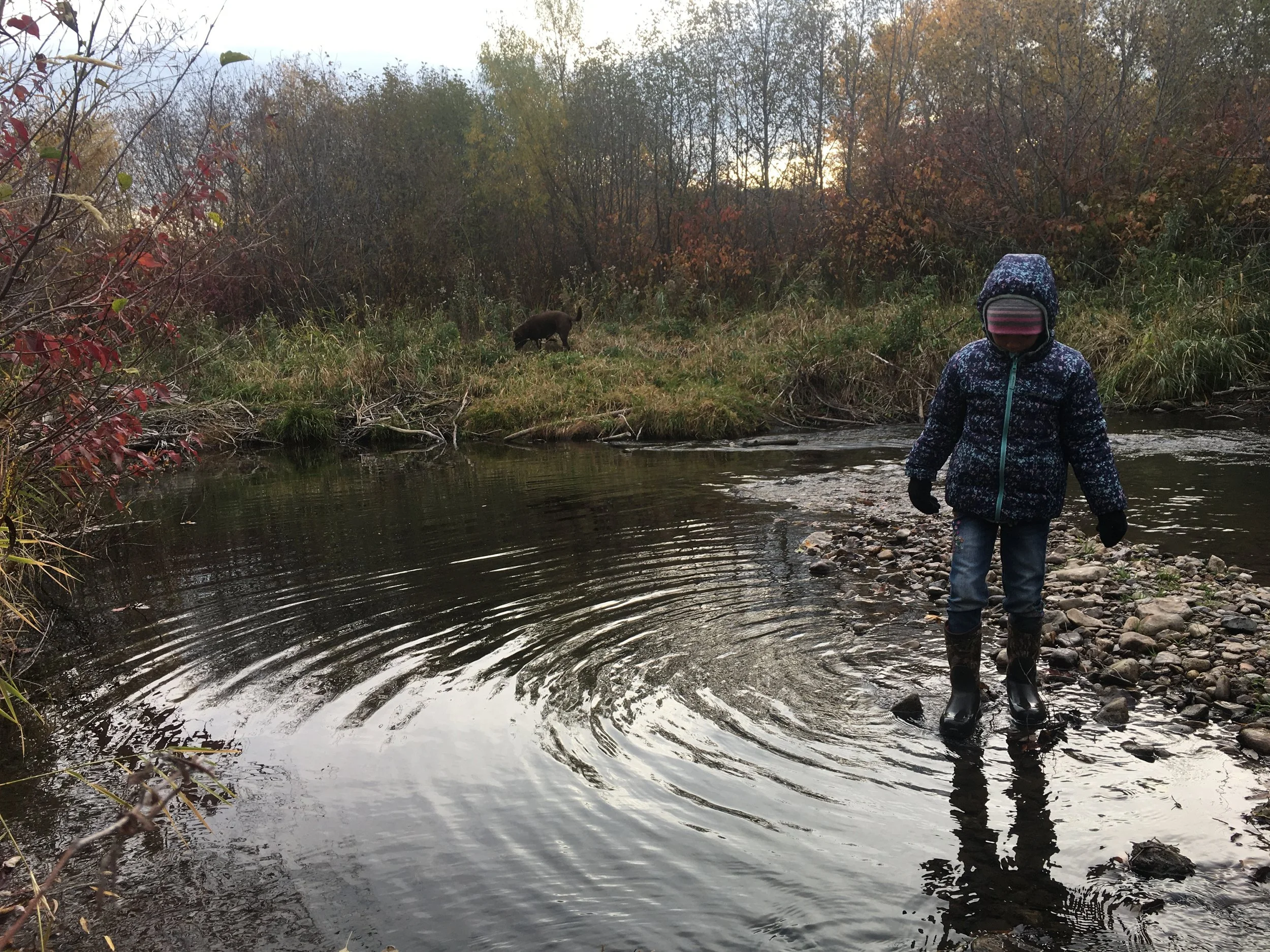
But our community knows the value of these dismissed resources. We know that healthy streams and wetlands sustain our way of life: they capture and move stormwater through our neighborhoods, meter out our limited supply of water, and support trout in the East Gallatin River. They are also the places we gravitate to find beauty and quiet. We recognize that to build here, these most critical slivers and pockets of land–making up less than 4% of Montana’s area–must stay intact to give water and wildlife a place to move through and around our growing City.
The cost of losing federal protection was too great to stand idly by, so when the City set out to update our wetland and watercourse codes, not only did they need to spruce things up after decades of use, they also decided to fill the gap left by the US Army Corps of Engineers.
After years of persistence and countless hours of talking, collaborating, writing, and speaking in the name of “watershed stewardship for a healthy and productive landscape,” the new code is out, and it reflects much of the hard work of GWC and our partners and neighbors who participated in the public process.
Here are the basics of Bozeman’s stream and wetland regulations, noting what changed in the update:
Setbacks and buffers: Bozeman considers the land around all streams and wetlands larger than 400 square feet to be undevelopable, with exceptions for some public trails and roads. This includes 100 feet on either side of the East Gallatin River, 75 feet on Bozeman Creek and Bridger Creek, and 50 feet on all other watercourses. A 50-foot setback is extended around “adjacent wetlands”–wetlands that fall within the watercourse setback–and “isolated wetlands” that are out on their own, get a minimum 25-foot buffer.
What changed: Previously, isolated wetlands had a “buffer of a size appropriate for the particular proposed activity and the particular regulated wetland area.” In practice, this squishy language resulted in no buffer at all. The 25-foot minimum addresses this loophole and sets a required baseline that can be expanded on a case-by-case basis.
What changed: Protections now extend to wetlands smaller than 400 square feet if they are part of a “mosaic of wetland areas” that may be interspersed with uplands but which are ecologically interconnected.
Impact minimization and mitigation: Impacts within the setback or buffer that can not be avoided and that degrade the stream or wetland must be minimized and compensated for (mitigated), preferably right there on-site. In other words: if you must build within the setback or buffer, tread lightly, and leave it as good as, if not better, than you found it. When on-site mitigation is not technically feasible, applicants should pay into a local mitigation bank within the East Gallatin Watershed.
What changed: This is pretty much all new, and closes the gap left by the Sackett decision. It also changes the status quo of mitigating impacts to a private wetland bank in the Jefferson Watershed, and prioritizes maintaining the functions and values of our streams and wetlands within our community, except as may be required by the US Army Corps of Engineers.
Parks: Parkland is encouraged to incorporate streams and wetlands.
What changed: This is a big switch. Our previous code did not allow streams and wetlands to count towards parkland requirements, but the Parks Recreation and Active Transportation Plan found that Bozeman residents wanted more natural area parks and for the city to take ownership of streams and wetlands for public benefit. This helps maximize buildable land while protecting more contiguous open space around high-value sensitive lands that serve multiple purposes.
Development review: Applicants must document streams and wetlands with a “wetland and watercourse delineation report,” complete with a functional assessment and jurisdiction determinations from the US Army Corps of Engineers and Gallatin Conservation District. This gives everyone a an accurate map to work from, a sense for how valuable the resource is, and clairty on which regulations apply based on if it is a “waters of the US,” stream, irrigation ditch, or both.
What changed: Mapping requirements are now stricter to ensure complete and accurate identification of streams and wetlands on-site.
What changed: The absence of streams and wetlands must be certified by a qualified wetland professional.
While these updates make Bozeman’s codes among the most progressive in the state, there is still more work to be done. We didn’t get everything we asked for in this round, and the code itself is only half the picture. The code defines the what–the legal standards and requirements for land use, building, and resource protection–but the how still needs to be developed. Tools like manuals, checklists, technical standards, and best-practice guides will help applicants and staff carry out the intent of the code more consistently, from quantifying impacts to designing on-site wetland enhancements.
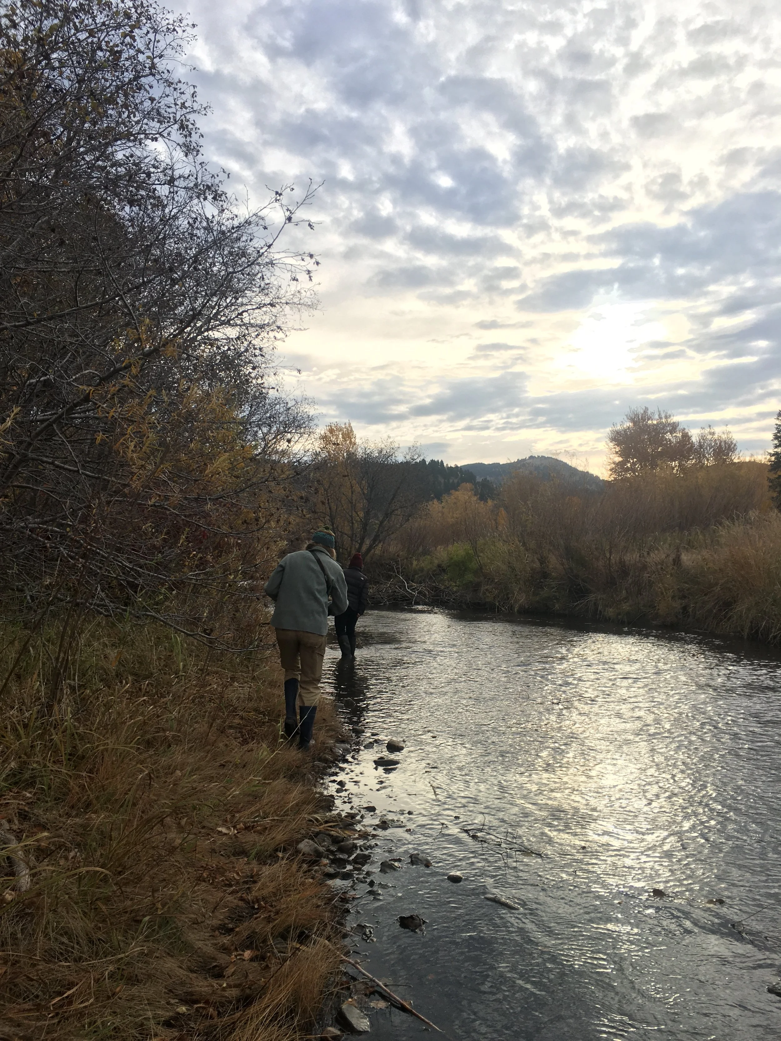
But for now, if you will excuse us, we’re off to enjoy a perfect fall day and walk beside a stream, beneath the aspens turning golden, and maybe savor a handful of chokecherries along the way.