Gallatin County delays decision on changes to floodplain regs
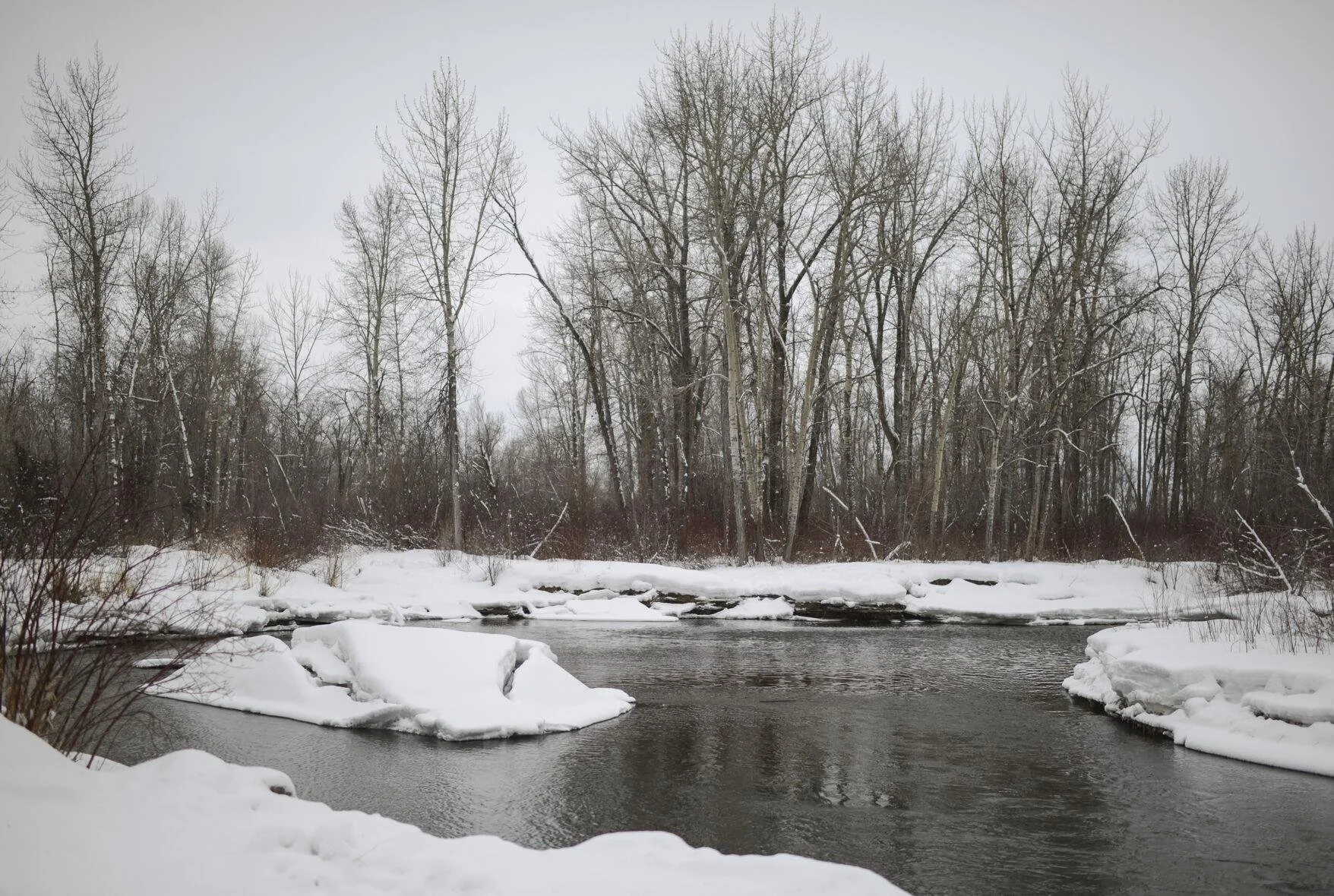
The Gallatin River is banked by ice and snow on Feb. 14.
Photo by: Rachel Leathe/Chronicle
Gallatin County delayed a decision Tuesday on floodplain regulations after testimony that requested a broader use of the regulations.
Sean O’Callaghan, Gallatin County floodplain administrator, asked the Gallatin County Commission for updates to the regulations to include Federal Emergency Management Administration approved letters of map revision, and to do a “wholesale, comprehensive update” of the regulations.
But some pushed the commission to consider further changes to the regulations to bolster protections for waterways and limit flood damage.
The Gallatin County Commission’s considered the rule change Tuesday. It was the first crack at updating the regulations since the last revision in 2021.
O’Callaghan said the map revisions come from landowners who submit technical information to FEMA meant to update floodplain maps. There have been nine letters approved by the federal agency since the previous update, according to county documents.
Those revisions could include landowners providing better information showing that their property is above a floodplain, or could come from the result of work being done — like a new bridge being built — in a floodplain area.
While the wholesale update focused mostly on correcting typos or fixing formatting errors in regulation text, other issues, like clarifying the floodplain administrator’s ability to provide permits or requiring an applicant to respond to issues raised in public comment, were addressed.
A possible loophole was found in a regulation related to recreational vehicles on campgrounds in floodplains, O’Callaghan said.
The regulation limits vehicles from being on a campsite up to 180 days, but appeared to not prevent someone from parking a different vehicle at the same site for an additional 180 days, according to county documents.
The commission was in favor of the updates, but the first round of approval for the rule changes was pushed back to consider recommendations made during public comment.
Lilly McLane, watershed restoration director for the Gallatin Watershed Council, outlined changes that the organization wanted that could bolster public health and safety along waterways.
Those recommendations included watercourse setbacks to be applied to all natural watercourses in the county, which means going beyond mapped floodplains into areas with mapped riparian vegetation and mapped channel migration zones.
The setbacks would also require minimum watercourse buffers of 300 feet for drainage basins greater than 20 square miles or 120 feet for drainage basins smaller than 20 square miles.
McLane also urged for more protection and variety of riparian vegetation, adding that it was the best tool to protect against erosion and that a complex variety could help to slow down rushing flood waters.
The idea behind the recommendations was to prevent impacts from building close to waterways, and to prevent an eventual domino effect of people trying to protect their property from erosion and flooding by using riprap to strengthen river banks.
“The biggest thing for me, when we look at Yellowstone (River flooding), that is an incredible opportunity to learn and do better over here, and we should capitalize on that opportunity,” McLane said.
Kirsa Shelkey, a lawyer for Trout Unlimited, urged consideration of revamping how land use tools, like the county’s growth policy, are used when considering development in a floodplain.
She recommended that O’Callaghan consider adding channel migration zone maps as a criteria for applicants wanting to develop in floodplains to consider.
“This review is an opportunity for the commission and the floodplain administrator to expand commissioner authority and to put tools through this process in place so that regulations can be better adapted to local needs,” Shelkey said.
O’Callaghan agreed that the recommendations had merit, but added that the floodplain regulations were not the right tool to administer those ideas.
Commissioner Jennifer Boyer pushed back, however. She said that the county needed to do better and do more to maintain the health and function of floodplains and rivers.
Boyer was in favor of adding developer consideration of channel migration maps to the rule changes, which ultimately pushed back the timeline of approval for the updates to the rules.
Boyer added that she agreed with the recommendations from the Gallatin Watershed Council, and felt they deserved future conversations.
“I would reopen these in a future update and at least put them somewhere and at least have the Swiss cheese approach to flood protection,” Boyer said.